 Pura Osa
Why use Puerto Jiménez as a base?
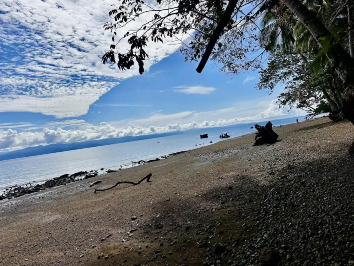
Puerto Jiménez is the only real town on the Osa Peninsula and the best base for its southern half, with the La Leona entrance to Corcovado about an hour down the road and dolphins in the Golfo Dulce.
- Canton: Canton of Puerto Jiménez since 2022 (before that it was part of Golfito). It sits on the Osa Peninsula, next to the canton of Osa.
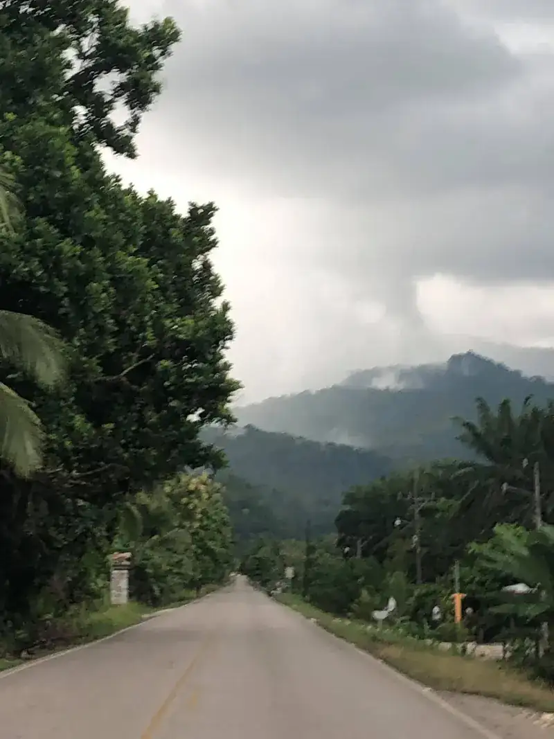
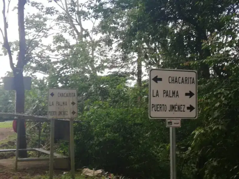
- Where: on the Golfo Dulce side of the Osa Peninsula, 77 paved km from the Interamericana at Chacarita.
- Getting there: 6–7 h by car from San José, 3.5–4 h from Uvita, about 50 min by plane, or 35 min by boat from Golfito.
- Services: banks with ATMs, gas station, supermarkets, airstrip and a car rental office. Beyond town there are none.
- Corcovado: closest town to the La Leona and Los Patos entrances. A certified guide is mandatory. Corcovado guide →
Some links on this page are affiliate links. If you book through them, Pura Osa may earn a small commission at no extra cost to you. Recommendations are not paid.
How to get to Puerto Jiménez
| Option | Time | Notes |
|---|---|---|
| Car | 6–7 h from San José · 3.5–4 h from Uvita | Costanera to Palmar Norte, Interamericana to Chacarita, then Route 245. All paved. |
| Plane | About 50 min | Daily SANSA flights from San José (several a day). The airstrip is in town. |
| Bus | About 9 h | Direct bus from San José around noon; return early in the morning. Confirm times. |
| Boat from Golfito | About 35 min | Passenger boats several times a day, about US$7. Schedules change; ask at the dock. |
Corcovado from Puerto Jiménez
- La Leona: take the colectivo (a 4x4 truck with benches) to Carate. It usually leaves at 6:00 a.m. and 1:30 p.m. from the town center, takes about 2.5 hours and costs around ₡8,000. From Carate it is about 45 minutes on foot along the beach to the ranger station.
- Los Patos: about one hour by taxi via La Palma.
Things to do
Golfo Dulce
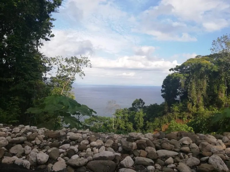
The Golfo Dulce is a rare fjord-like tropical gulf: a deep, calm gulf where dolphins are seen year-round and humpback whales come in to calve. Go by kayak or paddleboard at sunrise, or with a boat tour across to Piedras Blancas National Park on the far shore.
Mangroves and the Platanares estuary
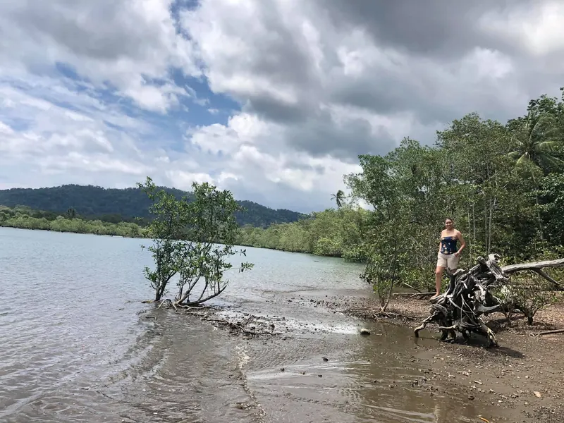
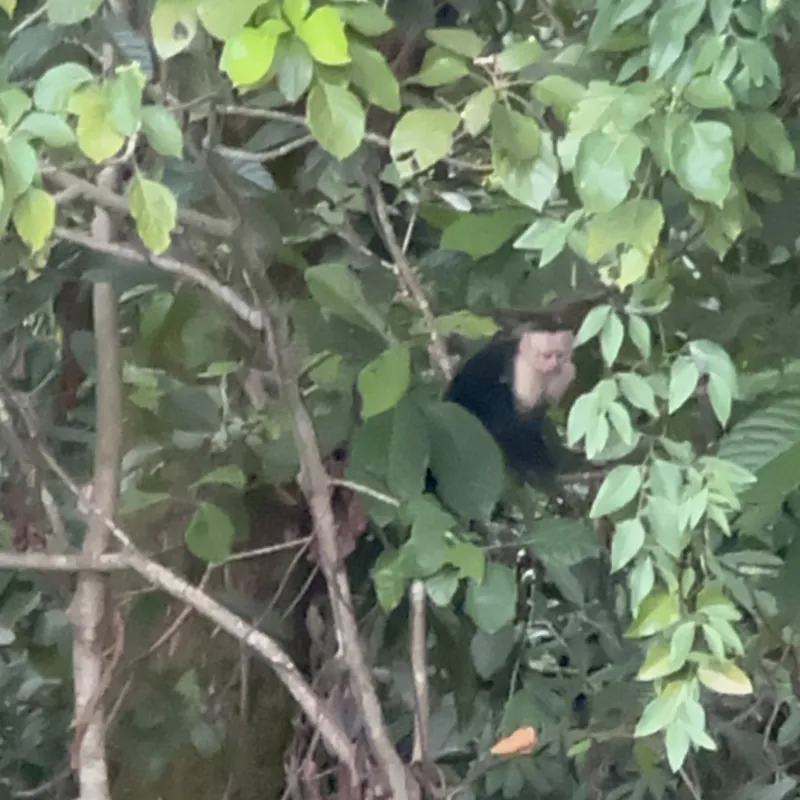
Right next to town, kayak tours enter the mangroves at high tide to look for herons, crocodiles and monkeys. Just past the airstrip, Playa Platanares (also called Preciosa) is a long, quiet beach for walking and swimming.
Cabo Matapalo
At the tip of the peninsula, Matapalo is where the rainforest meets right-hand point breaks. Even if you do not surf, come for the four monkey species, scarlet macaws and tide pools. The road is gravel; a 4x4 is best.
Dos Brazos and the gold-mining past
Before tourism, Osa lived from gold. In Dos Brazos del Río Tigre, former miners now guide forest hikes and show how gold panning was done, a living piece of the peninsula’s story.
When to go
December to April is dry and best for Corcovado and gravel roads. May to November brings afternoon rain, fewer people and lower prices; September and October are the wettest, and some Corcovado sectors close in October. Humpbacks visit the Golfo Dulce mainly from July to November.
The Golfo Dulce also has humpback whales, mainly from July to November and strongest in September and October, plus dolphins all year. Ask your lodge about gulf trips. Whales across Osa →
Where to stay
Stay in town for easy access to the airstrip, the colectivo and restaurants. Choose Matapalo or the Golfo Dulce shore for jungle lodges and quiet beaches, but plan on a 4x4 or transfers.
Live map: places to stay in Puerto Jiménez
Hotels, cabins, lodges and vacation rentals in and around Puerto Jiménez, with current prices. Move the map or set your dates to compare.
See the full list of places to stay in Puerto Jiménez →
Practical tips
- Fill the tank and take out cash in town: there are no ATMs or gas stations beyond it.
- Book Corcovado guides and the colectivo seat a day ahead in high season.
- Bring insect repellent, a rain jacket and a dry bag for boat trips.
- Do not feed macaws or monkeys, even in town.
Packing for this trip? See what to pack for Osa and our Trip Shop.
Puerto Jiménez, La Leona and the airport on the mapOpen map →Frequently asked questions
How do you get to Puerto Jiménez?
By road via Chacarita and Route 245 (about 6–7 hours from San José, 3.5–4 hours from Uvita), by a 45–50 minute domestic flight from San José, or by the passenger boat from Golfito (about 35 minutes).
Is the road to Puerto Jiménez paved?
Yes. The 77 km from Chacarita to Puerto Jiménez are paved. Beyond town, roads to Matapalo, Carate and Los Patos are gravel and a 4x4 is recommended, especially from May to November.
How do you get from Puerto Jiménez to Corcovado?
For La Leona, take the colectivo to Carate (about 2.5 hours) and walk about 45 minutes along the beach. For Los Patos, a taxi via La Palma takes about an hour. Corcovado always requires a certified guide.
Are there ATMs in Puerto Jiménez?
Yes, there are banks with ATMs and a gas station in town. Beyond Puerto Jiménez there are none, so carry cash in colones.
Some links on this page are affiliate links. If you book through them, Pura Osa may earn a small commission at no extra cost to you. Schedules and prices change; always confirm locally. Photos: Geinier Alvarado Guzman.